Alviso is a small, quiet neighborhood in San Jose. It is worlds away from the hustle and bustle of Silicon Valley just on the other side of the 237. It was once an independent town until 1968 when it incorporated. This northern most part of San Jose is located on the southern tip of the San Francisco Bay. Because of its location, it serves as an important part of the Pacific Flyway with millions of birds flying through during peak migratory times. I visited two locations that share the Don Edwards San Francisco Bay National Wildlife Refuge on consecutive days with two different experiences.
The first day I visited the Don Edwards San Francisco Bay National Wildlife Refuge near the Environmental Education Center. Looking at their webpage, I noted that the trails were open from sunrise to sunset. I also saw that due to the Coronavirus restrictions, the Visitor Center was closed. What I didn't realize was the parking lot would not be available. Luckily, there is a very small parking lot on the north side of the road right before you get to the locked gate.
The Marsh View Trail is a small narrow path leading to the Visitor Center. This trail meanders next to the New Chicago Marsh with the New Chicago Marsh Slough snaking its way through it. This marsh lies right along the small road with many different species of waterfowl.
 |
| Canada Geese near the path and smaller parking lot. |
Along the path as you reach the Environmental Education Center (EEC). The EEC has a lot of great programs. Field trips for schools (K-12), scout programs and summer camps to name a few.
 |
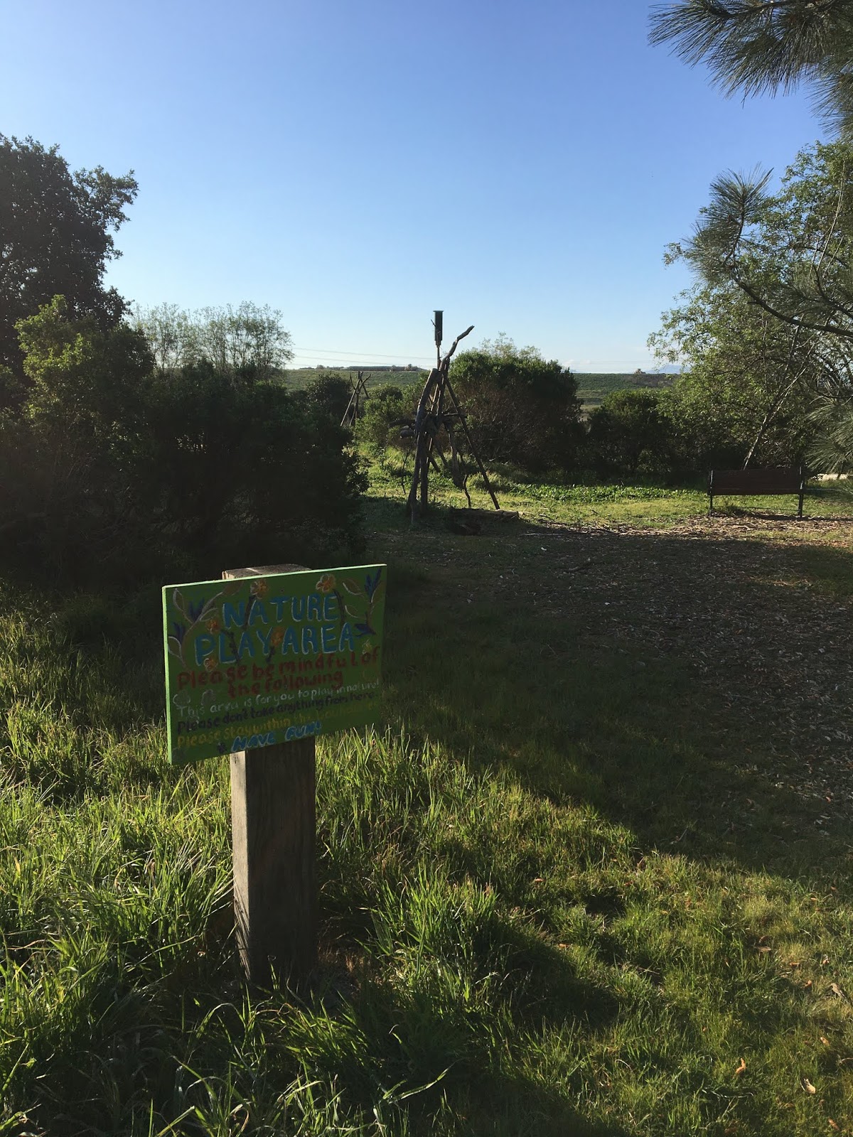
| Nature play area for kids. |
 |
| Their Little Free Library! |
Next to the EEC is their butterfly garden. You'll see a prominent sign pointing you to the start of the Mallard Slough Trail. I chose this trail because it was short, about 5 miles once you factor in the walk from the small parking lot and heading out and back on the spur trail to view Drawbridge and back. Drawbridge has an interesting history. Although much of it is slowly sinking into the marsh, it was once a railroad stop back in the day. Now a ghost town, it can be spotted but not visited as it is on an island, on the other side of the Coyote Creek.
 |
| Looking back on the Environmental Education Center |
 |
| Mallard Slough Trail, the southern leg. |
Shortly after starting on the southern leg of the Mallard Slough Trail doing the loop in a counterclockwise direction, I was suddenly attacked by a constant stream of gnats. I've been to this refuge many times before and this has never happened to me. It was actually so bad I headed back. Once I headed back in the opposite direction, the gnats seemed to dissipate. Clockwise it is!
 |
Artesian Slough
|
Observation Decks
 |
| The clouds mirrored in the salt pond. |
Unfortunately, all my misdirections and my time restriction didn't allow me to make it to the Drawbridge spur trail. Maybe another day in this COVID-19 world. All residents of Santa Clara County are advised against leaving the county except for essential business. Luckily Santa Clara County has a variety of numerous parks for the health and well-being of our minds and our bodies.
COVID-19 Considerations:
- Trail width. Except for the narrow New Chicago Marsh trail or footpath, the levee trails are more than wide enough to keep more than enough social distancing.
- People count. I saw a total of 5 people hiking the trail I chose (New Chicago Marsh Trail to the Mallard Slough Loop).
- Restrooms. I saw an outhouse in the parking lot but I don't imagine it's serviced with everything locked up. So don't count on a restroom!
- Maps. Either download the map to your phone, take a picture of the map at the trailhead or print out a map beforehand. No printed maps will be available but it's pretty straightforward.
- Trash. Pack out what you pack in.


Comments