Santa Clara County Parks: COVID-19 Maps!
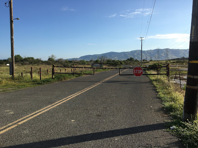
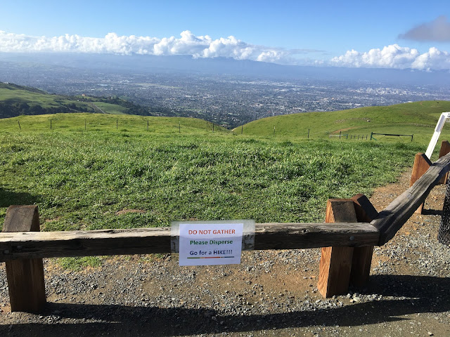
As someone who can’t walk to an open space preserve from my home, I appreciate that many of the open space preserves and county parks are making attempts to help us to comply with the shelter at home order while enjoying nature. One great example is the Santa Clara County Park system. They not only list the least impacted parks on their website but they also provide links to custom, social distancing trail maps. On these maps they’ve highlighted in green, trails whose width is sufficient to maintain the 6’ of social distancing. I used these maps with the free Avenza Maps App to track my hike. It was super helpful! Because it uses my phone’s GPS signal, I don’t have to worry about cell reception. I can see at all times exactly where I am. It will track my hike, if I ever remember to turn it on! It will give you your speed, distance, average speed and duration. I use the free version, which limits you 3 maps at one time but for a day hiker like me, that’s not a problem. So I headed to t